The University of Bergen is separate from INTIAU. Its Earth Science bachelor, Geovitskap, is a three-year, 180-credit Norwegian-language programme in Bergen. It offers geology and geophysics pathways.
Compare the pathways using the actual plan
The autumn 2026 study plan awards Bachelor i naturvitskap. The table selects required components, rather than reproducing the full course chart.
| Route or stage | Selected required components |
|---|---|
| Shared foundation | GEOV101; mathematics; INF100 programming |
| Geology progression | GEOV103, GEOV107 and GEOV110; later GEOV104 and GEOV109 |
| Geophysics progression | MAT121 and PHYS111; GEOV112 and GEOV113; later GEOV265 |
The distinction is not that one route observes the Earth while the other never does. A useful comparison asks which observations and models a particular question needs. Describing a rock sequence, interpreting a wave measurement and building a numerical representation can all contribute to an explanation, but their assumptions are different.
When reading course codes, follow their linked descriptions before judging a route by its label. A code is useful for locating the correct record; it does not explain the learning task on its own. In your notes, pair each interesting course with a question it could help answer, then identify the mathematics, physical principles or prior observations needed to attempt that question.
The plan describes introductory study followed by increasingly advanced work. It combines theoretical foundations with field, laboratory and computational methods. It also distinguishes the two routes’ compulsory and elective requirements.
A real introductory module goes beyond naming rocks
The published GEOV101, Introduction to Earth Science, is ten credits and taught in Norwegian. Its themes include Earth structure, minerals and rocks, plate tectonics, deformation, weathering, erosion and sedimentation. Learning outcomes include classifying materials, interpreting geological graphs and figures, and explaining relationships between processes and landforms.
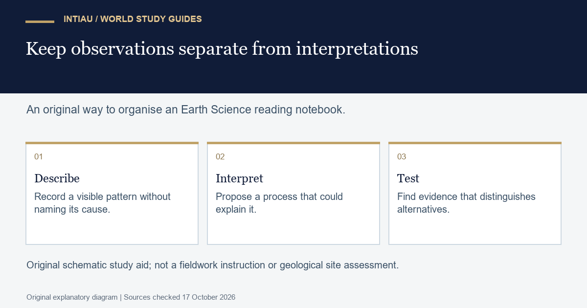
That combination makes a useful distinction between a description and a history. Identifying a material is one task; explaining how it formed and changed requires a sequence of processes supported by evidence. An attractive diagram should make the evidence visible rather than conceal a missing step in the interpretation.
The course record also expects precise geological terminology and relevant literature searches with correct referencing. Its description links graphical summaries to observations and data.
For a prospective student, inspect how a course asks you to communicate uncertainty. A sketch can distinguish an observed boundary from an inferred continuation. A written explanation can identify alternative histories that are still compatible with the observation. These are practical ways to assess whether a course’s learning demands match your interests.
Check subject-level entry requirements
The plan states general university-entry eligibility plus REALFA: Mathematics R1, or S1 and S2, and an additional specified advanced subject combination, such as Mathematics R2 or Physics 1 and 2. The full alternative list is in the plan.
Applications use Samordna opptak. The programme advertises an annual 15 April deadline; this guide does not assign it an unverified 2027 year.
Foreign qualification holders should have their actual subjects and levels assessed through the applicable admissions instructions. An English description of a Norwegian subject name is not an equivalence decision. Keep eligibility evidence separate from a preference for one pathway, and check whether the current course sequence supports the later subjects you want to study.
Try an original sediment-reading question
Imagine a fictional exposure with rounded pebbles beneath fine, horizontally layered sediment. One proposed account says transport conditions changed between the deposits. Another says the materials came from different source areas. The visible contrast can motivate both ideas; it does not by itself identify the cause.
List an additional observation that would help distinguish them, such as a change in mineral composition or repeated relationships across nearby exposures. Do not treat the first plausible story as a measured fact. This paper example is original and supplies no advice for entering an exposure, collecting samples or assessing a real site.
Questions about the routes
Are geology and geophysics both available?
Yes. They are the programme’s two published pathways.
Is the linked plan explicitly dated?
Yes. It identifies autumn 2026.
Does GEOV101 have published learning outcomes?
Yes. They include geological explanation, classification and interpretation of figures.
Compare subjects through INTIAU Courses, or use Contact for INTIAU information-service enquiries.
Related guides
View the study diagram