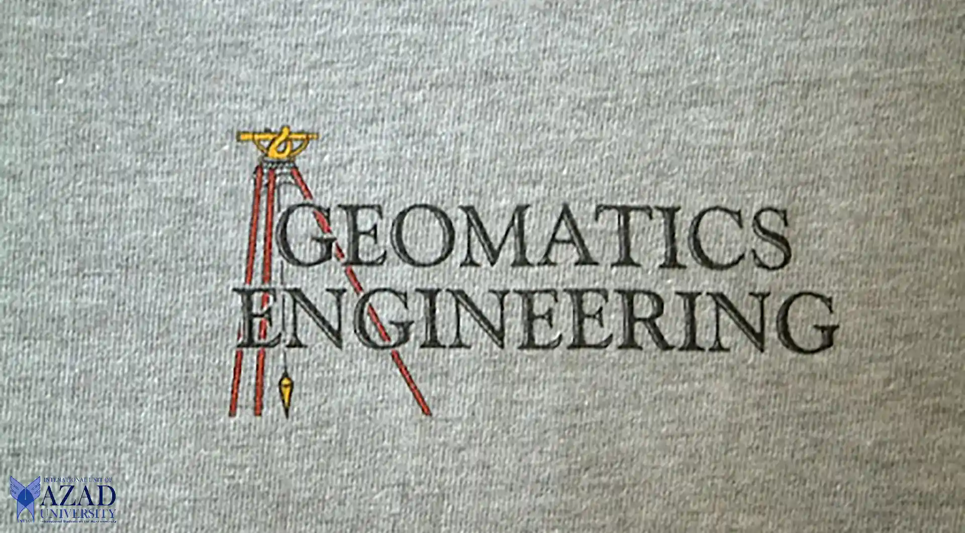
Exploring Geomatics Engineering at Azad University
INTIAU Geomatics Engineering, a vibrant discipline at Azad University, stands at the intersection of technology and spatial analysis. This essay delves into the essence of Geomatics Engineering, shedding light on its significance, curriculum, career prospects, and the enriching experience it offers to students.
Benefit of Pursuing the Course
Geomatics Engineering, synonymous with Geospatial Engineering, encompasses the acquisition, analysis, and interpretation of spatial data. It amalgamates elements from geography, cartography, and remote sensing, offering a holistic understanding of spatial phenomena. Through practical applications and theoretical frameworks, students unravel the intricacies of spatial relationships, paving the way for innovative solutions to real-world challenges.
Why Choose Geomatics Engineering?
Geomatics Engineering holds immense promise for those intrigued by the dynamic interplay between technology and geography. By harnessing cutting-edge tools such as Geographic Information Systems (GIS), Global Positioning Systems (GPS), and remote sensing techniques, students unlock a myriad of opportunities across various domains. From urban planning to environmental conservation, Geomatics Engineering equips graduates with the skills to make meaningful contributions to society.
Career Opportunities in Geomatics Engineering
The realm of Geomatics Engineering teems with diverse career pathways. Graduates find themselves in high demand in sectors ranging from land surveying and geodetic engineering to geospatial analysis and data management. Therefore, with the proliferation of spatial data and the advent of smart technologies, professionals proficient in Geomatics Engineering play pivotal roles in shaping our understanding of the world.
The Curriculum: What to Expect
At Azad University, the Geomatics Engineering curriculum is meticulously crafted to blend theoretical knowledge with practical skills. That is to say, students embark on a journey that traverses geospatial analysis, digital mapping, photogrammetry, and spatial modeling. Through hands-on projects and experiential learning, they gain proficiency in utilizing state-of-the-art tools and techniques.
Facilities and Resources – INTIAU Geomatics Engineering
Azad University boasts cutting-edge facilities tailored to the needs of Geomatics Engineering students. From advanced surveying equipment to sophisticated GIS laboratories, the university provides a conducive environment for exploration and discovery. Moreover, students have access to research opportunities that foster innovation and collaboration with industry partners.
Industry Connections and Internships
The university’s strong ties with industry leaders open doors to valuable internship opportunities for Geomatics Engineering students. Through internships and co-op programs, students gain real-world experience and forge professional networks that extend beyond the classroom. Therefore, these connections often culminate in employment offers and lay the foundation for successful careers.
Student Support and Engagement
Azad University prioritizes student success by offering personalized support and mentorship. Faculty members, renowned for their expertise in the field, provide guidance and encouragement every step of the way. So, with small class sizes and a vibrant community of learners, students engage in meaningful discussions and collaborative projects, enriching their academic experience.

Geospatial Analysis and Modelling – INTIAU Geomatics Engineering
Azad University Geomatics Engineering program delves deep into geospatial analysis and modelling, equipping students with the tools to decipher intricate spatial patterns. Through rigorous coursework and hands-on projects, students explore diverse datasets, employing techniques to extract meaningful insights. Consequently, they gain a nuanced understanding of spatial relationships and phenomena.
Students delve into the intricacies of spatial analysis, examining the spatial distribution of phenomena such as population density, land use patterns, and environmental factors. By applying statistical methods and geospatial technologies, they uncover trends and correlations that inform decision-making processes. Moreover, they explore advanced modelling techniques to simulate real-world scenarios and forecast future trends.
In the realm of geospatial modelling, students leverage cutting-edge software and methodologies to construct accurate representations of the Earth’s surface and its dynamic processes. From terrain modelling to hydrological modelling, they gain proficiency in visualizing complex spatial data. Moreover, through practical exercises and research projects, students develop critical thinking skills and problem-solving abilities essential for addressing contemporary spatial challenges.
Emerging Technologies in Remote Sensing
Azad University is leading in remote sensing technologies, helping students use satellite pictures, LiDAR, and drones. Through hands-on practice and fieldwork, students learn to understand pictures, collect data, and study it. By combining remote sensing data with GIS and other location tools, they find new ways to watch the environment, deal with disasters, and manage resources.
Also, remote sensing isn’t just about Earth’s surface. It includes studying the air and oceans too. Students learn about different kinds of remote sensing, like looking at many colors or detailed colors. By studying remote sensing data, they help with projects to understand climate change, protect different kinds of life, and manage ecosystems.
Environmental Applications of Geomatics – INTIAU Geomatics Engineering
Geomatics Engineering is crucial for tackling urgent environmental problems, such as habitat loss and the depletion of natural resources. At Azad University, students study different subjects that connect science, technology, and policy. They examine how space and location relate to environmental issues, and how human actions affect nature.
Moreover, students engage in fieldwork and lab experiments to study the environment, ranging from small areas to larger ones. They utilize tools and methods to assess environmental risks, determine areas requiring protection, and plan sustainable land use practices. By integrating location data with models of nature, students help preserve various species, combat pollution, and ensure the environment’s resilience during challenging times.
Geomatics in Urban Planning and Development
Urbanization poses significant challenges in terms of land use, infrastructure development, and environmental sustainability. Geomatics Engineering offers valuable insights into urban dynamics, empowering planners and policymakers to make informed decisions.
Through GIS-based mapping and spatial analysis, students assess the spatial distribution of amenities, services, and socio-economic indicators within urban areas. They employ spatial modelling techniques to simulate urban growth scenarios and evaluate the impact of policy interventions. Consequently, by collaborating with urban stakeholders, students contribute to the design of resilient, inclusive, and sustainable cities.
Geodetic Engineering and Geospatial Infrastructure – INTIAU Geomatics Engineering
Geodetic engineering lays the groundwork for Geomatics by giving precise measurements of the Earth’s surface and its gravity. As a result, at Azad University, students learn about geodesy, geolocation, and satellite positioning systems. They gain hands-on experience in surveying, figuring out geodetic data, and changing coordinates.
Global navigation satellite systems (GNSS) have changed geodetic engineering, making it possible to pinpoint locations and navigate anywhere on Earth accurately. Consequently, students study how GNSS is used in different areas like land surveys, building projects, disaster planning, and farming. By becoming experts in geodetic techniques and technology, students help build and keep up the systems that make maps and location services work for everyone.
In addition, GNSS has revolutionized the field of geodetic engineering, enabling precise positioning and navigation capabilities worldwide. For example, students explore the applications of GNSS in various domains. For instance, from cadastral surveys and engineering construction to disaster management and precision agriculture. By mastering geodetic techniques and technologies, students contribute to the development and maintenance of geospatial infrastructure essential for society’s functioning.
Integration of Geomatics with Artificial Intelligence
Azad University leads the way in combining Geomatics with artificial intelligence (AI). Therefore, opening up new possibilities for understanding space and making decisions. Students learn about different kinds of AI technology. For instance, machine learning, data mining, and deep learning, specifically for studying space and location. They get practical experience by doing projects and research. They use AI to solve different problems, like figuring out what’s in a picture or predicting what might happen in a certain area.
Bringing Geomatics and AI together helps improve things like self-driving cars, farming precision, and keeping track of the environment. By using AI to analyze lots of location data, students can understand things better. In addition, make smarter decisions while also being ready for unexpected events. As AI gets better, Geomatics Engineering stays important for using new technologies and making space-related discoveries for the future.
Preparing for the Future
Geomatics Engineering teaches students the skills and mindset they need to succeed in a world that’s always changing. Moreover, graduates become experts in handling spatial data and technology. Therefore, ready to tackle big global problems with new ideas and clever thinking. So, by staying open to new ways of doing things and always learning, they keep growing and exploring throughout their lives.
At Azad University, Geomatics Engineering offers an educational experience that goes beyond limits. Students learn through tough classes, practical training, and working with industry experts. Therefore, they become great at solving problems and leading the way in spatial analysis. Furthermore, as they learn about Geomatics Engineering, they discover new things, come up with new ideas, and see endless opportunities ahead.
Conclusion
In conclusion, Geomatics Engineering at Azad University offers a comprehensive education that integrates advanced topics, emerging technologies, and practical applications. Through a blend of theoretical coursework, students acquire the skills and knowledge needed to address complex spatial challenges. To explore further and pursue higher education in Geomatics Engineering, students can follow the links below for bachelor’s, master’s, and PhD programs. It’s worth noting that all courses at Azad University are offered both online and on campus. Therefore, providing flexibility and accessibility to students worldwide. Embrace the future of Geomatics Engineering and embark on a journey of innovation, exploration, and impact.