The University of Hamburg is a German institution separate from INTIAU. Its study catalogue lists Geography as a German-taught Bachelor of Science with winter entry.
The Geography overview gives six semesters and 180 credits. It connects physical and human geography before later specialisation. This guide concerns that BSc, rather than the separate Geography International route.
When comparing geography programmes, identify the scale at which a question is posed. A regional average, an observation at one site and an account of how people use a place are different kinds of evidence. A useful curriculum map should show where you would learn to handle those differences, rather than simply list attractive destinations or environmental themes.
A dated map of the degree
The linked study guide is internally dated winter 2025/26.
| Group | Selected content |
|---|---|
| Introduction and methods | Quantitative methods, qualitative methods and spatial data analysis |
| Development and specialisation | Physical and human geography, excursion and advanced methods |
| Completion and complement | Study project, thesis, supplementary subject and practical placement |
GEO12-MET3, Raumbezogene Datenanalyse, is a real five-credit spatial-data-analysis module in the guide. This is a selected module identification, not its complete syllabus or a newly verified 2027 teaching schedule.
Use that named component to formulate a practical question: how would a result change if the observation units changed? Put your answer beside the official module description when planning further research. Do not assume that a statistical exercise covers field observation, interviewing or cartographic communication merely because each can concern the same location.
Worked exercise: the apparent density of a place
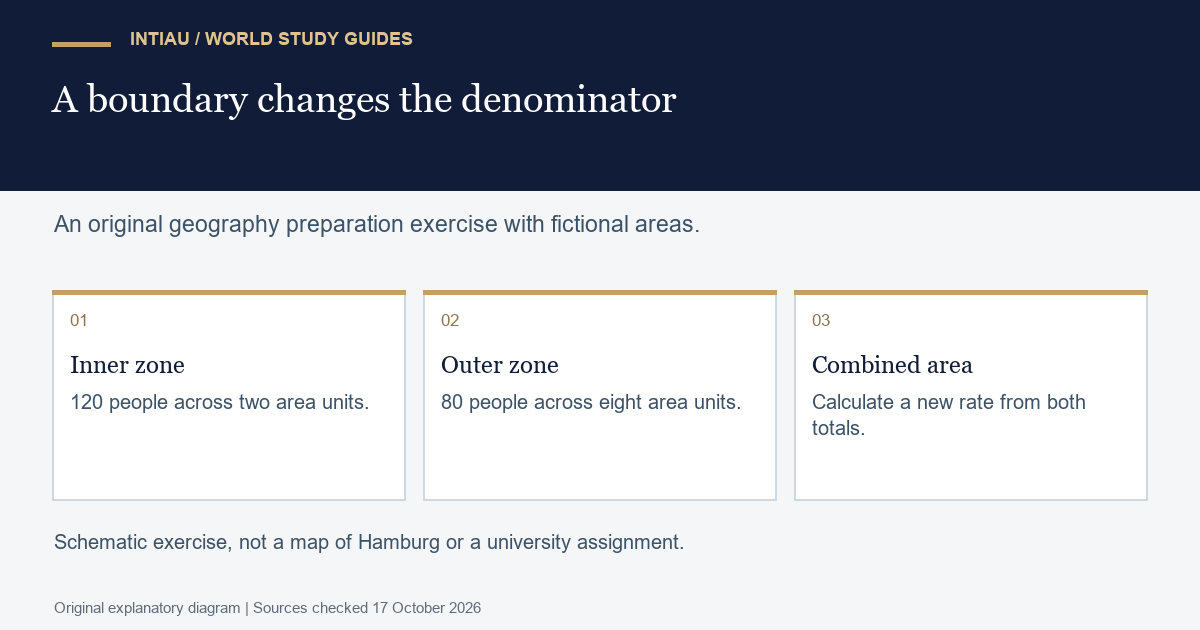
Imagine two adjoining zones with invented population and area values. The inner zone contains 120 people across two area units. The outer zone contains 80 people across eight area units. No real neighbourhood or personal data is involved. Calculate the density of each zone and then of the combined area.
The inner density is 120 divided by two, or 60 people per area unit. The outer density is 80 divided by eight, or ten. Combined population is 200 and combined area is ten, giving a density of 20. The combined value is not the simple average of 60 and ten, which would be 35.
The reason is visible in the denominators. The outer zone occupies four times the area of the inner zone. An area-weighted calculation gives 60 times two plus ten times eight, divided by ten: again 20. The equal-weight average treats the zones as equally large and therefore answers a different question.
Next redraw the reporting boundary so that the inner zone is presented alone. Its density remains 60, but the reported “area density” rises from 20 to 60 because the area being described has changed. No person has moved. Label the reporting area before comparing its density with any other area’s result. This is a warning about interpretation, not evidence that any particular boundary is inappropriate.
Prepare two labelled sketches and a short calculation sheet. Keep the same population symbols in both sketches so a reader can see that the underlying totals are unchanged. Explain which boundary corresponds to each denominator. A shaded diagram without an area definition would conceal the very choice the exercise is intended to expose.
Finally, ask what these figures cannot establish. Density alone does not show access to services, travel time, housing conditions or people’s experience of the area. Adding an interview or a transport measure might address another question, but it would require its own observation method. A single numerical comparison should not be made to carry conclusions for which it contains no evidence.
Applications and the checked cycle
Use the university’s Campus-Center application guidance, including its international-applicant route where applicable. The page states 1 June–15 July 2026 for winter 2026/27 bachelor applications. That period was already past when this guide was checked on 17 October 2026; it is not a confirmed 2027 deadline.
Keep a qualification-and-language checklist beside your curriculum notes. Identify the entry category that actually applies to you before collecting documents. Distinguish an application timetable from the study guide’s edition, and distinguish both from the semester in which an individual class is offered. Those three dates serve different planning purposes.
Three geography questions
Does an English description mean the BSc is English-taught?
No. The university catalogue lists German.
Is the selected module list a complete syllabus?
No. It is a selection from the winter 2025/26 study guide.
Is the combined density the average of the two densities?
It is the area-weighted result: 200 divided by ten equals 20.
For INTIAU information, use Courses or Contact.
Related guides
View the study diagram