The University of Delhi offers B.A. (Hons.) Geography through its college system; this is an independent reading guide, not an INTIAU programme or partnership. A college prospectus supplies one local example of the course, rather than evidence that every college has identical provision.
Read the subject sequence before choosing a college
The university’s Academic Affairs listing identifies the award as Bachelor of Arts (Hons) Geography and separates discipline-specific core papers from electives. Its early sequence combines physical and human geography with practical work. The selected entries below are a route through that listing, not the whole degree-credit audit.
| Listed stage | Selected core entries | Reading focus |
|---|---|---|
| Semester 1 | Physical Geography; Human Geography; Digital Cartography | Concepts, society and practical mapping |
| Semester 2 | Geomorphology; Population Geography; Statistical Methods in Geography | Processes, populations and quantitative work |
| Semesters 3–4 | Climatology; Urban Geography; Fundamentals of Remote Sensing; Oceanography | Selected later core subjects |
For your comparison notes, keep “what is studied” separate from “where it is offered.” A programme sequence helps you judge intellectual fit; a college’s current teaching information helps you judge the location and actual arrangement. Copying a long subject list without its core/elective labels loses information that matters when you compare two options.
What Digital Cartography actually teaches
The college-hosted NEP outline labels Digital Cartography as DSC-3, a four-credit practical paper. Its objectives connect digital map-making with scale, projection choice, and interpretation of topographic and weather maps. Named content includes coordinate systems, raster and vector data, and construction and application of scales. These are actual outline themes; the reviewed document is not proof of a particular 2027 class timetable. Read the selected outline.
That combination suggests a useful preparation habit: explain a map’s purpose before discussing its appearance. State what the symbols represent, what distance means, and whether area comparisons are appropriate. A polished map can still answer the wrong question if its scale or denominator is misunderstood.
Keep the admission decision separate
For Geography in 2026-27, the bulletin permits either one List A language plus three List B subjects, or two List A languages plus two List B subjects. CUET papers must match subjects studied or passed in Class XII. Read the Geography eligibility box on printed page 9.
CUET eligibility and the university’s separate CSAS allocation process both matter. This guide checks 2026-27 information on 17 October 2026; it establishes no 2027 application window. Consult the admission guidance.
Before applying, make a short record of your school subjects, the relevant test papers, the college preferences you intend to submit, and the exact bulletin edition. Resolve a mismatch at the eligibility stage; a preference list cannot repair an ineligible subject combination.
Original practice: scale is part of the evidence
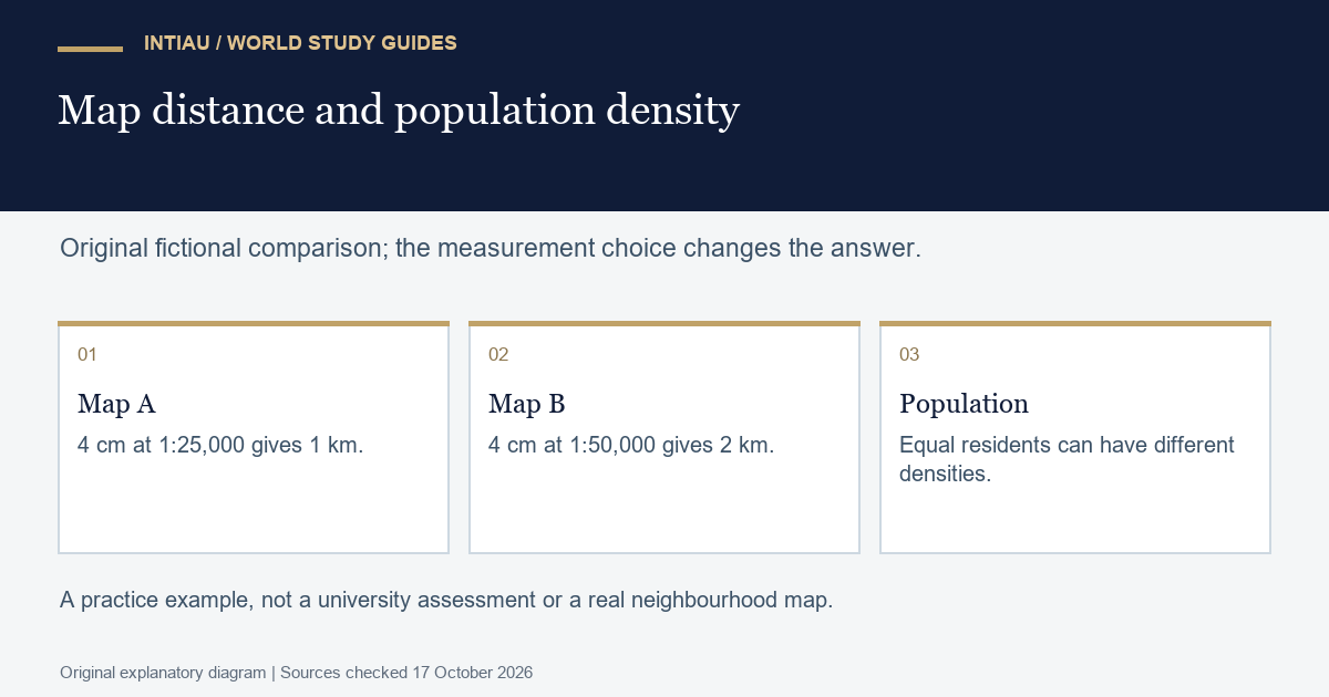
Imagine two fictional maps, each showing a line four centimetres long. Map A uses a scale of 1:25,000; Map B uses 1:50,000. The first line represents 100,000 centimetres, or one kilometre. The second represents two kilometres. Equal lines on paper therefore represent different ground distances.
Now give two districts the same population of 12,000. District A covers three square kilometres and District B covers six. Their densities are 4,000 and 2,000 people per square kilometre. Write a caption stating both the population and the area. Do not say that B has “fewer people”: its count is equal, while its density is lower. Finally, explain which of the two comparisons your map is designed to communicate. This is an original reasoning exercise, not a Delhi examination question.
Questions to settle
Are the listed papers the complete degree?
No. They are selected core entries; the official listing also separates electives and other course categories.
Does the mapping paper include practical work?
Yes. The reviewed DSC-3 outline identifies a four-credit practical paper.
Can I reuse another programme’s CUET combination?
Check Geography’s programme-specific requirements in the applicable bulletin; requirements are not interchangeable across honours subjects.
Official reading
- College prospectus (2025-26)
- Programme structure (UGCF listing)
- Geography outline (NEP; posted 2025)
- Admission guidance (2026-27)
- Undergraduate bulletin (2026-27)
For other study topics, browse INTIAU Courses; use Contact for questions about INTIAU services. University applications belong with the institution named above.
Related guides
View the study diagram