The University of Copenhagen is separate from INTIAU. Its 2026-revised geography regulation identifies a Danish-taught BSc in Geography and Geoinformatics, comprising 180 ECTS. The structure starts with a 60-ECTS foundation followed by a 120-ECTS specialisation.
Connect human and physical geography
The programme overview combines human and physical geography. Its general profile has two years’ worth of compulsory courses and a year’s worth of restricted electives and electives. The first year ends with field courses in both human and physical geography. This selection shows the progression without replacing the full plan.
| Part | Published emphasis |
|---|---|
| Foundation | Human and physical geography, geoinformatics and fieldwork. |
| General profile | Compulsory study alongside restricted and free choices. |
| Choice groups | Environmental, human and physical geography; geoinformatics. |
A prospective student can compare these areas by starting with one question rather than one software package. For example, “Where are services located?” differs from “Who can use them?” and from “How does flood exposure affect a location?” A useful degree comparison identifies which observations, concepts and methods would be needed for each question. Interest in drawing maps is a starting point, but explaining what a map leaves out is equally revealing.
What the selected GIS course actually covers
The accessible GIS and Cartography course record is explicitly the 2025–2026 edition. It identifies 7.5 ECTS and Danish teaching. Its outline covers vector and raster representations, geodata organisation, coordinate references, spatial analyses and thematic cartography. Practical exercises concern representing real-world objects digitally and selecting suitable analytical strategies. These are sourced course themes, not a claim to have read the next edition’s complete teaching materials.
When inspecting such an outline, distinguish representation from analysis. A representation decides what an object becomes in the dataset; an analysis applies a rule to those objects. Your interpretation then connects the result to a substantive question. Keeping these three decisions visible helps you notice an unsuitable unit of analysis before producing an attractive but misleading final map. Always save the assumptions beside the result so that another reader can reconstruct the comparison.
Prepare for a Danish undergraduate application
The university’s international bachelor guidance says its bachelor programmes are taught in Danish. Applicants with foreign or international qualifications must meet both qualification and Danish-language requirements. Applications use Optagelse.dk. The page states an annual 15 March noon deadline for foreign or international examinations; its checklist still explicitly refers to 2026, so this guide does not relabel that as a verified 2027 calendar.
The geography page specifically lists Danish A, English B and Mathematics A. Its general route requires a qualifying examination with the stated grade requirement or the quota-2 alternative. Subject-level equivalence needs an actual admissions assessment, not a translation of the subject name alone.
Try a short spatial comparison
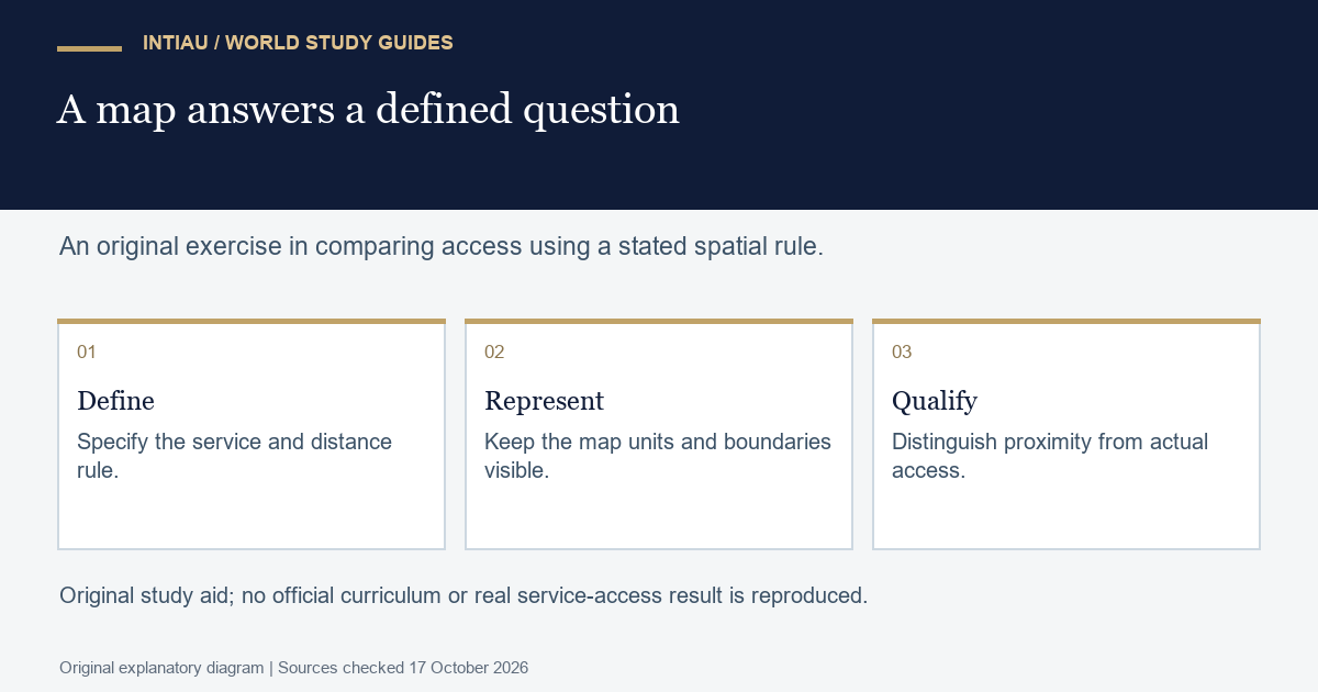
Imagine three fictional residential points on one straight road at positions 0, 3 and 8 kilometres. A proposed service is at position 2. Using distance along that road and an inclusive two-kilometre threshold, the first two points are within range: their distances are 2 and 1 kilometres. The last point is 6 kilometres away.
The correct count is two of three points under this rule. It is not automatically two thirds of the population: the points might represent very different numbers of residents. Nor does proximity establish that the service is affordable, open when needed or reachable across a barrier omitted from the road model. Write the narrow result first, then one specific extra observation needed for a broader access claim. The exercise is original and uses no real residential records.
Questions about study and evidence
Is the degree taught in English?
The regulation identifies Danish as the programme language.
Which edition supports the GIS themes here?
The accessed course description is labelled 2025–2026.
Are foreign credentials assessed only by nationality?
No. The guidance distinguishes the examination and its subject levels; nationality is not the academic admission rule.
Use INTIAU Courses for further subject comparisons and Contact for enquiries about INTIAU information services.
Related guides
View the study diagram