The University of Lausanne in Switzerland is independent of INTIAU. Its French-taught Bachelor of Science en géosciences et environnement comprises 180 ECTS over six semesters. official bachelor overview
Understand the common beginning before comparing orientations
The faculty’s structure page describes a 60-credit first year organised into four compulsory modules. That first part must be passed before progression to the second part, which offers three orientations. The linked introductory spreadsheet is labelled 2025/26; it should not be represented as a verified 2026/27 detailed module list. programme structure
Start your comparison by identifying the question you want to investigate: a material process, a spatial pattern or an environmental decision. Then ask which kind of explanation would answer it. Several programmes may mention environment while using very different evidence. An orientation label is only the beginning of that comparison; it does not reveal the assessment, prerequisites or full practical workload.
A stage map with an explicit evidence boundary
| Stage | Verified structure | Question for a prospective student |
|---|---|---|
| First part | 60 credits; four compulsory modules; progression requirement | Which shared foundations would change your preferred explanation? |
| Second part | 120 credits in an orientation; three orientations offered | How does the chosen route connect methods with a question? |
| Detailed planning | 2026 plan linked in the cohort-specific regulations navigation | Which edition governs the actual start year? |
The regulations page identifies a study plan dated 14 September 2026. Its linked PDF was not retrievable in this check, so this guide makes no claims about that PDF’s individual course table, module credits or assessment rules. The public course search interface was accessible, but no individual course record was read. The plan link remains useful for the applicant to consult; its existence alone is not evidence of its contents. linked 2026 study plan and cohort-specific navigation
Verified scientific aims, rather than an invented module outline
The faculty describes programme-level preparation in mapping, geographic information systems, remote sensing and statistics, alongside scientific software. Its aims also include critically reading French- and English-language literature and communicating through maps and diagrams. These are published skills for the programme, not verified learning outcomes of one named module. The same faculty guidance specifies French C1 preparation and notes that some courses use English. A prospective student should therefore distinguish readiness for French academic work from the ability to read an occasional English scientific text. faculty aims and language guidance
A practical comparison sheet can contain four evidence columns: the spatial unit, the measurement, the analytical method and the claim being made. Fill them from an actual course record when available. If a column remains unknown, mark the gap; replacing it with an attractive general skill would hide the very information needed to compare study routes.
Application-year caution
Annual 30 April and visa-related 28 February labels lack a cycle year; confirm the intended entry year’s deadline directly. application information
Before acting, identify the intended entry year, the qualification category and the applicable language evidence in Lausanne’s own current instructions. A curriculum edition and an application window answer different questions. Save the relevant dated instructions together so that a change in one is not silently applied to the other.
Original exercise: the same map at two resolutions
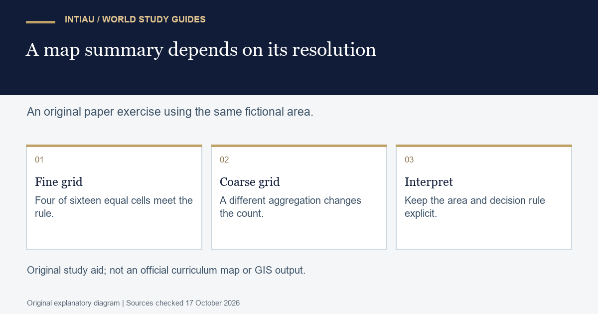
Imagine sixteen equal-area cells arranged in a four-by-four grid. Exactly four cells meet a fictional environmental threshold, one in each two-by-two block. At the fine scale, 4/16 or 25% of the area meets the threshold. Now combine each two-by-two block into one coarse cell and label a coarse cell positive if any constituent cell is positive. All four coarse cells are positive: 100% of coarse units, but not 100% of the original area. Explain why those percentages answer different questions. Then change the coarse rule to “at least three positive fine cells.” No coarse cell qualifies. The observations have not changed; the aggregation rule has. A clear comparison records both spatial resolution and classification rule before interpreting a summary statistic.
Three practical questions
Is a current individual module syllabus reproduced here?
No. Verified programme aims are distinguished from the detailed plan and individual records that were not read.
Does an annual day and month establish a 2027 deadline?
No. Confirm the intended admission cycle in the university’s current instructions before relying on it.
Did the coarse map prove more original area was positive?
No. It changed the counting unit and rule, not the stipulated fine-scale observations.
For INTIAU’s own information, see Courses and Contact.
Related guides
View the study diagram