
The University of Milan offers the Laurea triennale in Scienze geologiche in Milan; this independent programme guide does not describe an INTIAU degree or partnership. Its 2026/27 entrant record identifies three years, 180 credits, class L-34 R and Italian instruction. Official entrant record.
A geological comparison should distinguish what was observed from the history proposed to explain it. A rock description, a position on a map and an interpretation of a process are related records, but they are not interchangeable. Try keeping those records separate before deciding whether a course title matches your interests in materials, landforms or field investigation.
Read selected components with their edition
The programme’s study-plan index identifies the 2026/27 entrant curriculum and lists scientific foundations, practical geological subjects and field work. The following selection keeps original Italian course names for record matching. It does not supply a complete semester sequence. Current plan index.
| Learning layer | Actual selected component | Comparison question |
|---|---|---|
| Quantitative tools | Matematica I e informatica; Fisica I | Are units and transformations explicit? |
| Material description | Laboratorio minerali e rocce | What evidence supports an identification? |
| Landform study | Geomorfologia e laboratorio | Which features need explanation? |
| Field synthesis | Rilevamento geologico e laboratorio di terreno | How are observations combined spatially? |
A specific first-year example is Introduzione alla geologia e laboratorio, listed at seven credits. This confirms a real component and teaching level; its name alone does not establish weekly field tasks or an unseen assessment scheme.
Use a small evidence sheet when reading descriptions. Record a course’s language, edition and role before comparing it with previous study. A similar title may conceal different practical work, while differently named courses may share some themes. Neither observation establishes automatic credit recognition. Leave that decision with the institution assessing the records.
For a closer example, the 2026/27 Introduction to Geology and Laboratory syllabus combines Earth-system processes, geological time and plate tectonics with cartographic practice. Its laboratory includes contour reading, profiles and simplified geological sections; field activity connects surface observations with underlying rock. Selected official syllabus.
Use that distinction when preparing a course comparison: identify an observed feature, the representation used to record it, and the interpretation drawn from it. A map symbol is evidence in a representation; it does not remove the need to explain how the interpretation was reached.
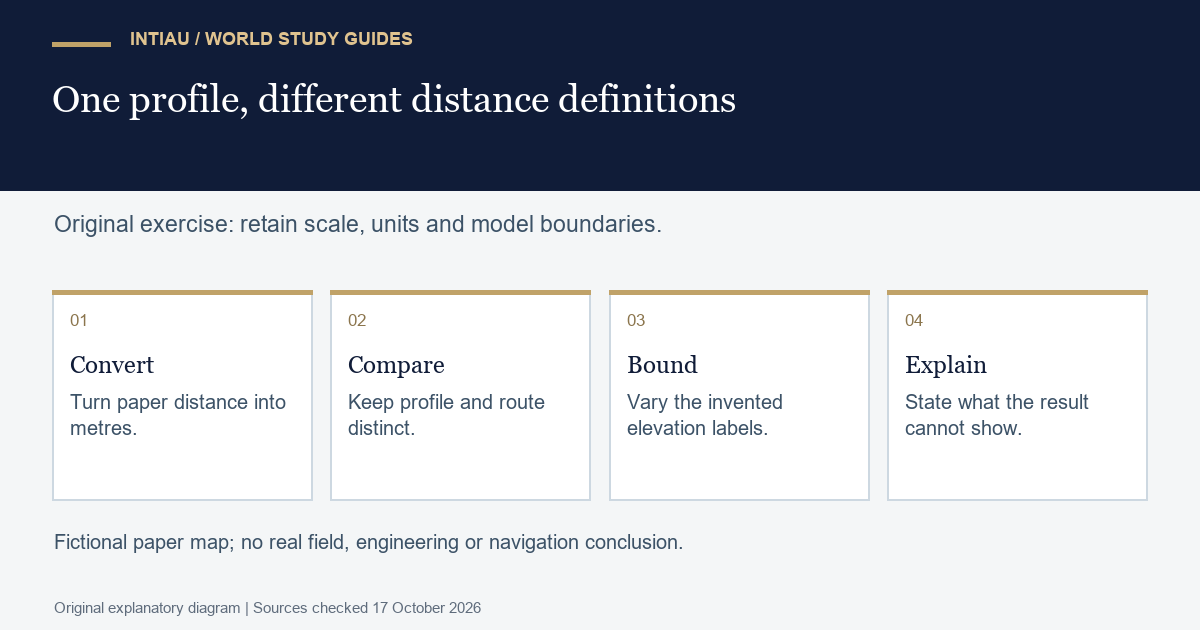
Original worked exercise: a scale change alters a slope
This is a fictional paper-map exercise, not a Milan assignment or an instruction for field navigation. Two marked points are six centimetres apart on a map at a scale of one to five thousand. Each centimetre represents fifty metres, so their straight horizontal separation is 300 metres. Their invented elevations are one hundred and 130 metres.
The elevation difference is thirty metres. Dividing thirty by 300 gives a gradient of 0.1, or ten percent, for the simplified profile between these points. Show the unit conversion before reporting that percentage. A calculation using centimetres in one part and metres in another would be wrong even if its numerical result appeared precise.
Now imagine that the same six-centimetre separation appears on a map at one to ten thousand. The represented horizontal distance becomes 600 metres. With the same elevation labels, the calculated gradient is five percent. Explain why the marks on paper have not changed while their represented separation has. A map’s scale is part of the evidence, not decorative information.
Introduce a different distance: a winding fictional path between the first map’s points measures nine centimetres, representing 450 metres. Dividing the same thirty-metre rise by 450 produces about 6.67 percent. That answers a different question about an average along the assumed route. It should not silently replace the straight-profile calculation.
Next allow each elevation label to differ by up to five metres in either direction. The smallest possible rise under those bounds is twenty metres, from 105 to 125. The largest is forty, from ninety-five to 135. For a fixed 300-metre separation, the corresponding gradients run from about 6.67 to 13.33 percent. These are simple scenario bounds, not a statistical confidence interval.
Create a notebook with columns for map scale, paper distance, represented distance, elevation difference and the question being answered. Retain all three distance scenarios. In a final paragraph, say which extra information would be needed before interpreting a real landscape. Do not infer a rock-layer dip, safe walking route or engineering condition from this invented two-point example.
The completed answer should make an important distinction visible: arithmetic can be correct for a stated representation while being unsuitable for a different question. If that distinction interests you, keep it beside your questions about mapping, measurement and practical teaching. It gives an adviser something more specific to discuss than a broad preference for outdoor study.
Admission and study preparation answer different questions
Open access includes a compulsory, non-selective pre-enrolment knowledge test. Consult the applicable admission notice for procedures and dates.
Sources were checked on 17 October 2026. This guide uses the stated entrant edition and makes no claim that an unannounced 2027/28 procedure is open. For an enquiry, identify your qualification and intended entry year first. Keep a request about admission separate from a request to recognise particular previous laboratory or field activities.
Frequently asked questions
Is this an English-taught geology bachelor?
No. The listed teaching language is Italian.
Does the table replace the full study plan?
No. It selects actual components. Prerequisites, choices and an approved personal sequence require the complete applicable rules.
Does the map exercise describe a real geological site?
No. All locations, distances and elevations are fictional. It establishes no real geological, engineering or navigation conclusion.
View the study diagram
Official sources
For INTIAU’s separate information, see Courses and Contact. Milan determines its own academic and admission requirements.