Université Paris-Saclay is a French institution separate from INTIAU. Its Licence Sciences de la Terre develops geoscience study through first-year scientific portals and later Earth Sciences years.
The BCST portal listing identifies Orsay as its teaching location and Orsay Bures as its campus. Check later-year and field-activity locations separately.
The L3 listing specifies French. This guide does not describe the route as English-taught.
To compare Earth-science study meaningfully, separate describing an object from explaining its history. An observation may support several interpretations, and a plausible sequence is not an absolute date. A useful programme map should show how observational work, scientific foundations and later analytical approaches connect, while retaining the limits of each kind of evidence.
Read the stages without inventing a semester chart
| Stage | Published arrangement |
|---|---|
| L1 | Earth Sciences orientation through BCST or MPC portals |
| L2 | Earth Sciences study with option choices |
| L3 | Further options, field-related project and laboratory or company placement |
Histoire de la Terre is a real 4.5-ECTS module in the L3 catalogue. Its outline brings together geochemistry, geophysics, structural geology and petrology to interpret Earth’s development across geological time. It links major processes with evidence from rocks and broader environmental change. This is a selected example, not the complete module outline or all licence requirements.
For your own comparison, place one observational skill beside one interpretative claim. Ask which additional information would be required to move from the first to the second. Fieldwork, numerical tools and laboratory analysis may address different parts of that movement. Treat them as related methods rather than assuming that any one method supplies a complete history.
Worked exercise: order is not a numerical age
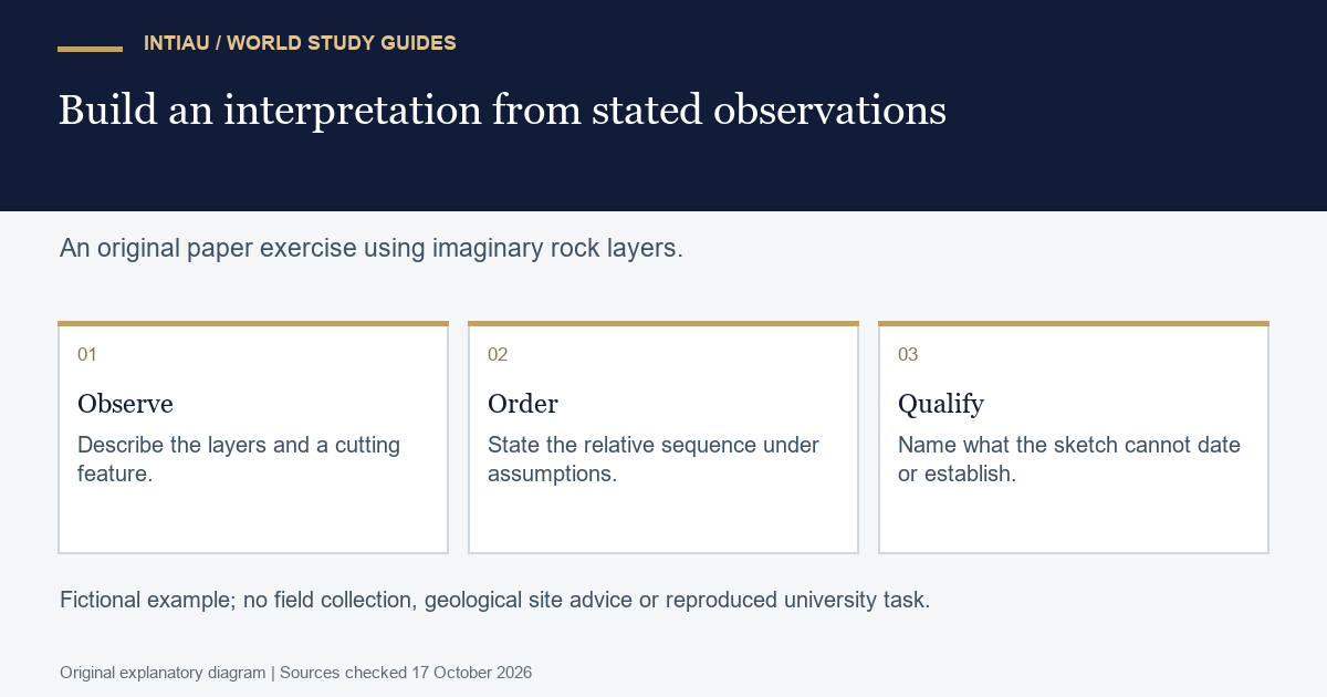
Imagine an undisturbed sequence of three horizontal layers. Layer A is lowest, B lies above A and C lies above B. A narrow feature D cuts across A and B. A clearly visible truncation surface cuts off D, and C was deposited on that surface after the truncation. For this original paper exercise, assume that layers were deposited in order from bottom to top and that D formed by cutting material already present. No real rock site is represented.
Under those assumptions, deposition of A precedes B. Formation of D follows both A and B because it cuts them. The stipulated truncation cuts D, and deposition of C follows that truncation. The relative order is therefore A, B, D, truncation, C. Write the supporting observation beside each ordering step rather than presenting the sequence as self-evident.
Now remove the stated truncation information and weaken the observation. Suppose the sketch shows only that D is not visible in C, while the contact itself is obscured. That absence is less informative than a clearly observed termination beneath C. D might continue outside the view or be unrecognisable in a different material. The original ordering depends on the stronger boundary observation, not merely on a blank part of the drawing.
Next ask whether the sequence supplies an age in years. It does not. The labels establish order within the invented model, while no numerical-age evidence has been given. Assigning a familiar geological period to A would introduce information absent from the exercise. Likewise, the sketch does not measure the duration between deposition and cutting.
Prepare a one-page evidence log with three columns: observed relationship, interpretation and assumption. Add a fourth column for a possible competing explanation. A concise model answer states the proposed order, identifies the obscured-contact uncertainty and says explicitly that no absolute age follows. This is more useful than a detailed-looking timeline filled with invented dates.
Use the result to reflect on subject fit. If you enjoy checking what a diagram actually establishes, you may want to investigate the programme’s observational and analytical components in greater depth. The exercise does not assess admission suitability or replace supervised field or laboratory teaching.
Choose the application route for your entry level
The university’s undergraduate application guidance distinguishes first-year applications, international profiles and later-year entry. It directs French-baccalaureate applicants to Parcoursup and later-year applicants to eCandidat, subject to the chosen programme’s instructions.
The L3 listing displays an application window of 19 April–15 July 2026. It was already past at this guide’s 17 October 2026 check. It must not be reused as a confirmed 2027 deadline.
Keep entry-level eligibility separate from your interest in an advanced module. A listed L3 course is not a first-year admission route. Record the applicable applicant category, current instructions and curriculum edition before preparing a final shortlist or document checklist.
Three Earth-science questions
Does first-year entry begin with one isolated Earth Sciences course list?
No. The overview directs students through the BCST or MPC portal routes.
Which language is listed for L3?
French is specified on the L3 programme page.
Does the fictional layer sequence provide ages in years?
No. It supports only a qualified relative order under the stated assumptions.
For INTIAU information, use Courses or Contact.
Related guides
View the study diagram